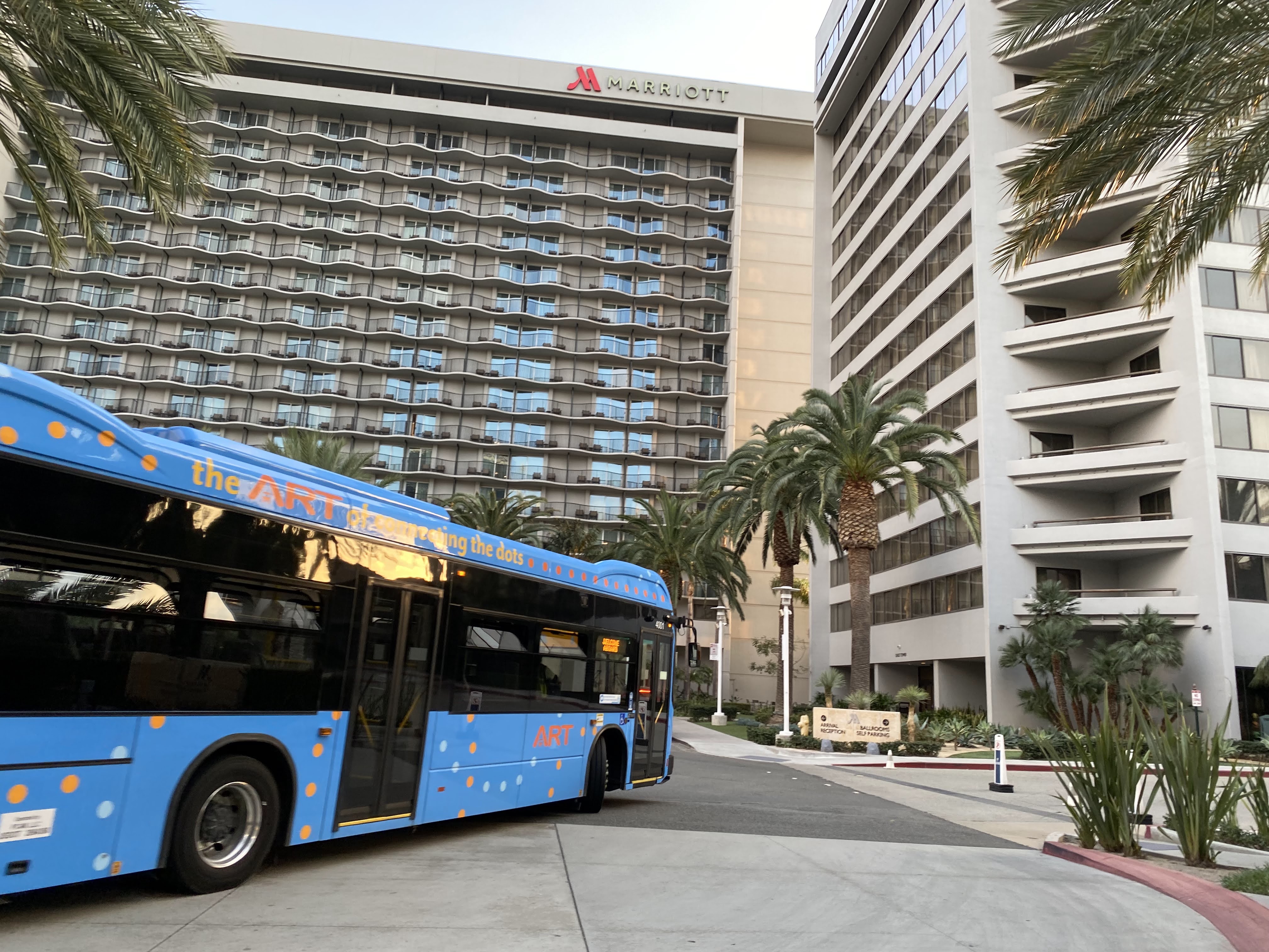
For this installment of Bike OC: I drove to the District at Tustin Legacy Shopping Center, about 10 miles from Disneyland, to not only run errands at Target & Costco but before that bike to Fashion Island in Newport Beach about nine miles away, depending on the route I take. I made a reservation for sit down brunch restaurant, Great Maple, which is set to open at the Pixar Place Hotel at Disneyland Resort (formerly Paradise Pier Hotel) to try the restaurant before it opens at the hotel since I am sure it will always be packed, and try it at their Fashion Island location.
Please note, there is mild profanity while struggling to ride my bike. YouTube will demonize my content and not get ad revenue! Oh wait, I only have 86 Subscribers anyway, I still need 1,000 Subscribers to get ad revenue.
Part One: Anaheim to Newport Beach via Car to Tustin & Bike to Newport Beach.
Unlike Anaheim, where there are either really narrow or no bike lanes on most streets, Tustin & Irvine narrowed the car lanes to give a good amount of room for bike lanes, so they won’t be stuck in the gutters. Like most cities, they were developed in the 60s with the freeway and car expansion. Thankfully, in recent years, both cities are much more forward-thinking than Anaheim on road infrastructure to make room buffer room for bike lanes.
As a staging point for my bike ride, I drove from Anaheim to the District at Tustin Legacy Shopping Center since it has both Target & Costco right by each other to conveniently run my errands after my bike ride, with a Lowe’s in between which I don’t need to go to. I parked in the more remote parking spots, set up my folding bike from the back of the SUV, and made my way down on Tustin Ranch Road, then changed to Von Karman Ave & then turned left on Alton Parkway to the San Diego Creek trail, a paved trail way along the levee of the creek, which drains into Newport Bay.
The District at Tustin Legacy Shopping Center is home to the decommissioned blimp hangers from World War II, and the surrounding areas are getting redeveloped for commercial & residential areas for nearby office workers and UC Irvine students. I filmed on my GoPro for my bike ride for content and to keep accountable for myself, and fellow road & trail users. Some of the initial roads on Tustin Ranch Road did not have lane stripping because of construction, however, as long as none of the drivers got too close to me, I would be fine. Crossing Barranca Parkway, Tustin Ranch changed the street name to Von Karman, with painted lanes that are wide, it can fit my bike’s length at about four feet, in the width of the lane. At Alton Parkway, I crossed the road with the traffic but then used the bike button to signal that a bike was there for the signal algorithm, and then crossed with the Alton Parkway traffic. Why can’t cyclists be automatically sensed that they are there?
When it comes to an intersection, the lines get hashed to make a pseudo-turn lane, granted cars going straight are not over too far to the right and a bike is not there. I did let up for the car turning right behind me to Millikan Ave, however, the cars behind that car did not turn on Millikan, they turned onto the next driveway to the shopping center. I was not happy with them. Then I continued on to Alton with green lights with no problem to the San Diego Creek trail.
Like the Santa Ana River trail, San Diego Creek trail is owned and opened by Orange County Parks, so residents can have a safe place to walk, jog, & bike, away from cars, and gated access for residents who live next to the trail. There were also ducks crossing the trail way since they were basking in the recent rainfall in the creek. Some of the residents on the trail were friendly, and we greeted each other, probably because I also had my GoPro recording my bike ride as well.
For the trail to have right of way from the roads and highways, the trail dips under the roadways & Interstate 405, while CA State Highway 73 is elevated. The dips require a lot of momentum to power through the uphill portion, especially if you have a standard pedal bike without any electrical assistance like mine. Before getting to the University of California, Irvine (Abbreviated as UCI or UC Irvine), I had to go under three streets and I-405 before getting to the full right of way to campus. Then is a full straightaway along Harvard and then University Drive, with one dip under Campus Drive. Along the way, UC Irvine students would use the pathway to jog, walk their dog, or ride a wheeled device to & from class as many of them live in the nearby apartments and don’t need to take a car or the Orange County Bus to school. However, UC Irvine was not my destination, Fashion Island was my destination, and it will be a lot more pain ahead.
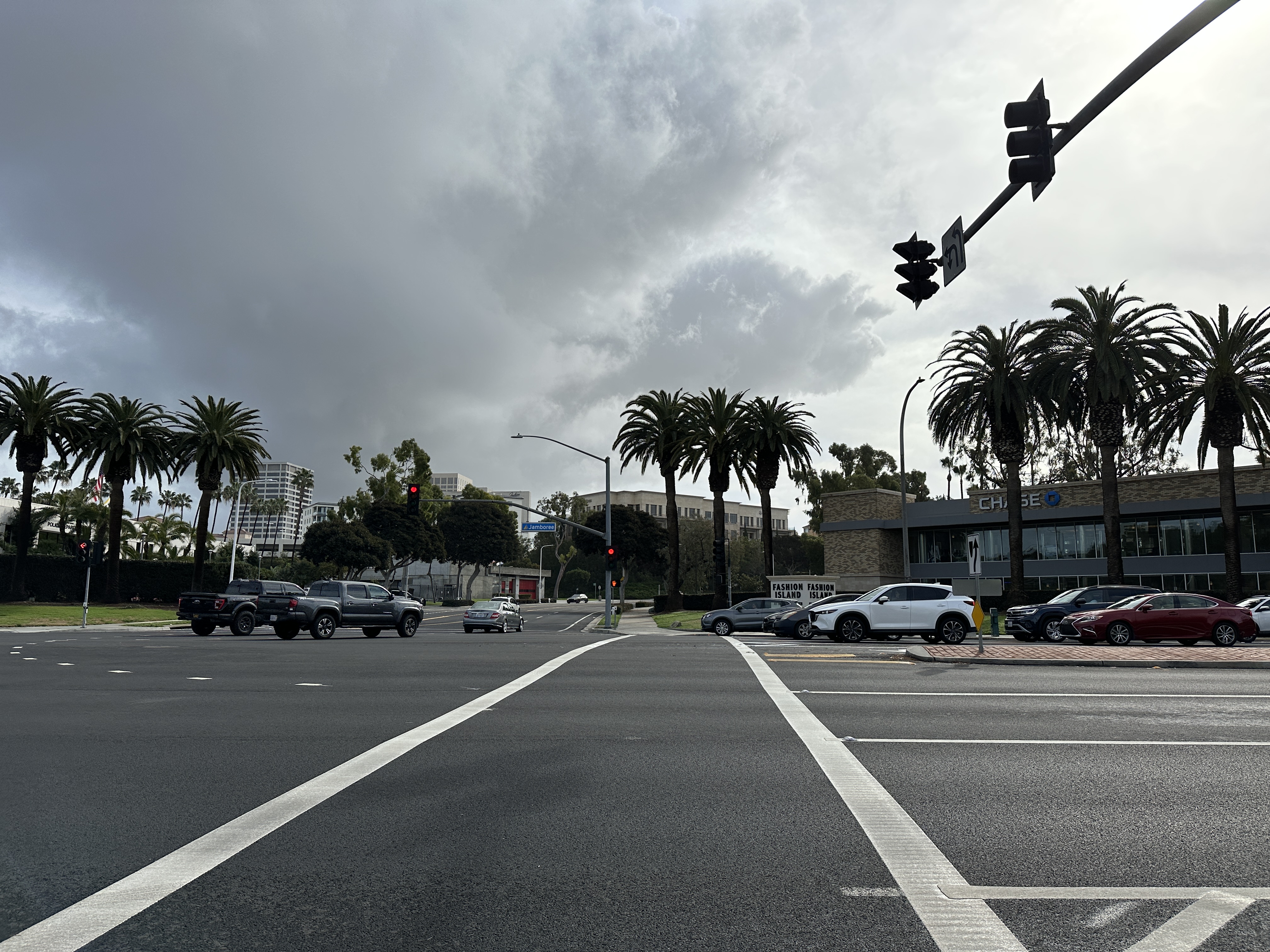
Continuing west past UC Irvine, the San Diego Creek pathway & University drive parallels until it gets to Upper Newport Bay in Newport Beach. From there, there are two ways to get there, up Jamboree Road with two massive hills for a shorter distance, or a primarily flat but has hills at both ends of the Sea to Coast Trail for a longer distance. I chose to do the earlier first and then the latter on the way back since it was shorter to get to my Great Maple reservation on time, however, I would be in a world of pain with Jamboree Road. Jamboree Road is a street road with three lanes & a wide bike lane with a buffer zone of four feet in total, in each direction. The last 2.5 miles where the main challenge is going up 150 feet in elevation, going downhill, then up 69 ft, and then arriving at Fashion Island. Due to the elevation climb, I had to walk my bike uphill the whole time since I did not enough strength to go uphill the whole time. After the first hill was a huge downhill run getting up to 27 mph then up another hill, turning left on Santa Barbara to go hill more, and then arriving at Fashion Island. I’ll talk about Fashion Island after eating at Great Maple. I parked and locked my bike at a bike rack and then made my way to Great Maple.